Integrated Transport Action Plan (ITAP)

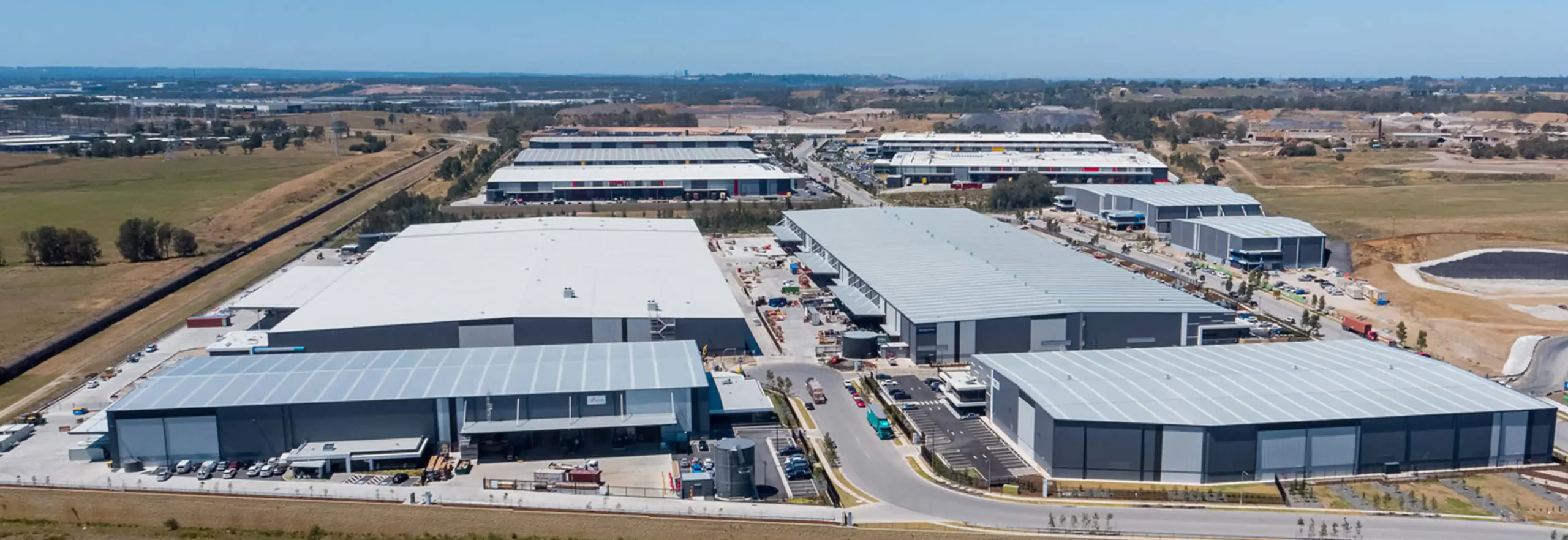
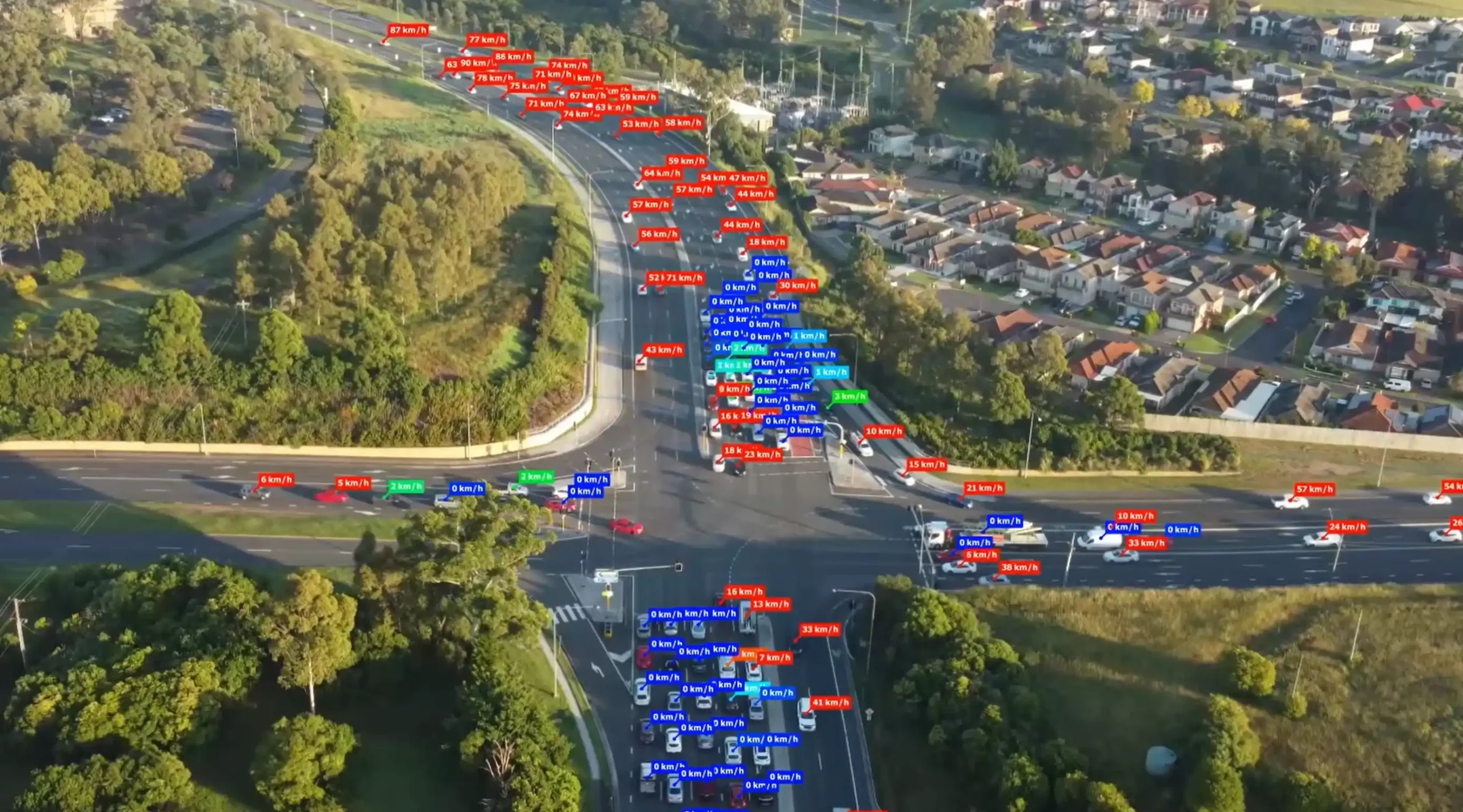
Ason Group was engaged by TfNSW to undertake multiple ITAP assessments including over 30 intersections and corridors across a range of locations in NSW. Ason Group proposed and successfully implemented the use of drone technology to record intersection operations and deliver a greater level of traffic movement insights not previously achieved in the ITAP process. This data was supplemented with SCATS, Compass IoT and TomTom data to provide robust calibration of intersection operation.

The results of the project were reported in dynamic dashboards using Tableau and issued to TfNSW in digital format as opposed to the traditional document output, enabling continued use by the agency in the optimisation of the road network.

The successful implementation has led to ongoing engagements with TfNSW to deliver this level of analytics across further locations within both NSW and QLD.

Integrated Transport Action Plans (ITAP) provide the evidence base and traffic modelling required by TfNSW and other stakeholders to review and assess key areas of congestion and the efficacy of road network improvements.

Our work included

  • Coordination of traffic surveys and drone surveys.
  • Data cleansing and transformation of various data sets to enable comparison between pre-COVID and current traffic volumes and performance.
  • Video and data analytics to identify and track individual vehicle movements, pedestrian behaviour, and trace desire lines.
  • Travel time analysis using GPS data to generate heat maps and identify road network pain points and areas of focus.
  • Intersection modelling and network modelling.
  • Data visualisation using Tableau to create dashboards for stakeholder communication.

Similar Projects

Port Botany in Banksmeadow is Australia’s primary port for bulk liquid and gas and is home to New South Wales largest container facility. Ason Group was commissioned to prepare a 12-hour Aimsun microsimulation model for Coal Pier Road Industrial Precinct located in the vicinity of Port Botany. Freight movements are

View Details

Port Botany & Foreshore Drive Aimsun Model

Ason Group was engaged to undertake the capacity analysis and assess the operational performance of the current and proposed design in terms of Level of Service provided to pedestrian circulation on the block and adjacent streets in Sydney CBD. The Legion pedestrian model was developed to perform virtual experiments on

View Details

Pitt Street Modelling

At 240 hectares, ESR’s Moorebank Intermodal Precinct is Australia’s largest intermodal facility. Conveniently located on Moorebank Avenue 1 kilometre south of the M5 Motorway interchange, the facility is ideally situated for the distribution of goods both regionally and nationally via the road and rail networks. Due to its favourable location

View Details

Moorebank Intermodal Precint