Mamre Road Precinct – Road Network Assessment

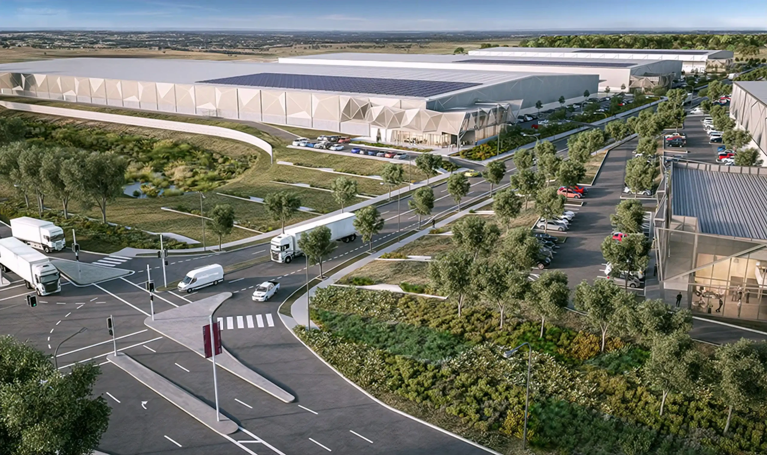
The Mamre Road Precinct (MRP) forms part of the Western Sydney Employment Area (WSEA) and Aerotropolis was rezoned in June 2020 to permit industrial land uses across approximately 850 hectares of land and over 3.5 million square metres.

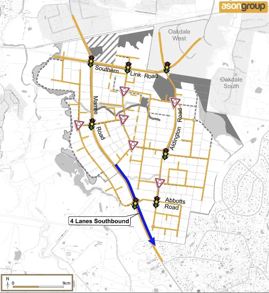
Ason Group was engaged to work with key stakeholders including Transport for NSW (TfNSW), the Department of Planning Industry and Environment (DPIE) to formulate a road network plan to accommodate the future demands of the precinct which included up to 100,000 vehicles per day and the development of a future Intermodal Terminal.  

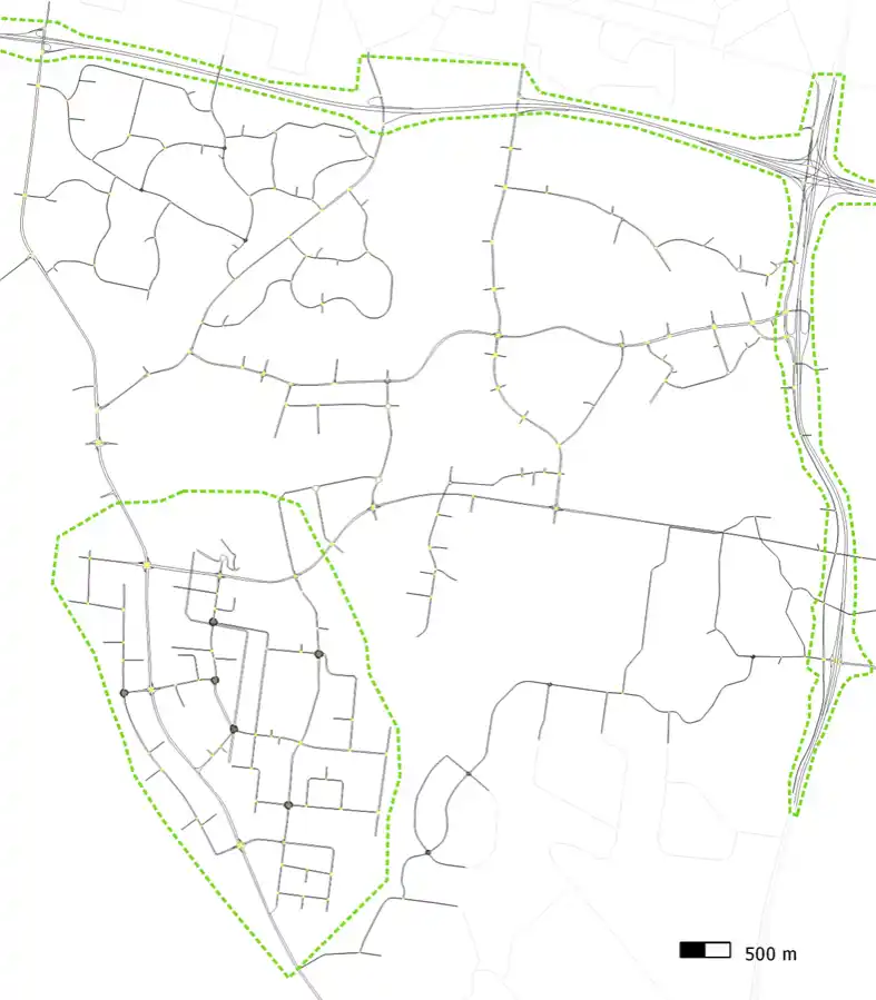
This includes the development of a mesoscopic and microscopic hybrid Aimsun model to test varying land use and network options for a 2026, 2031 and 2036 horizon years as well as detailed site master planning across the precinct.  

A review of existing movement patterns within Western Sydney to establish future project demand.
Our work included

  • Prepared in house Land-Use-Development (LUD) model to estimate the precincts' trip generation / attraction.
  • Develop, calibrate and validate the mesoscopic - microscopic 'Hybrid' model in Aimsun of the MRP and surrounding WSEA.
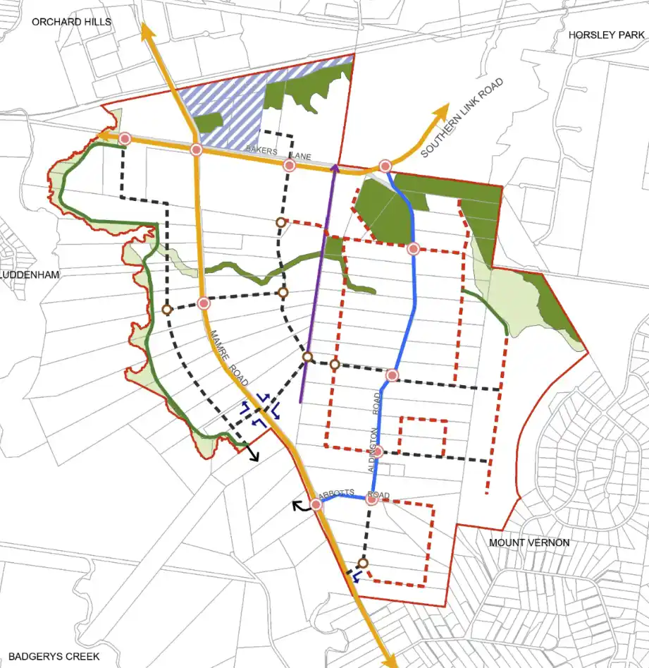
  • Develop, test and refine, a road network that will enable development of the precinct to full Project capacity whilst maintaining safe and efficient access for all users. 
  • Carry out numerous geometric scenarios assessment for 2026, 2031 and 2036 horizon years including both funded and planned infrastructure.
  • Develop travel demand management (TDM) strategy to reduce travel demand and redistribute the traffic in horizon years.
  • Support public sector to review Draft DCP for Mamre Road Precinct, based on appropriate level of through traffic capacity and staged upgrades.   
  • Provide advice on better connectivity between the precinct and other parts of the Western Sydney Employment Area. 
  • Master planning and SSDA input advice. 
  • Construction management strategies.  

Similar Projects

Port Botany in Banksmeadow is Australia’s primary port for bulk liquid and gas and is home to New South Wales largest container facility. Ason Group was commissioned to prepare a 12-hour Aimsun microsimulation model for Coal Pier Road Industrial Precinct located in the vicinity of Port Botany. Freight movements are

View Details

Port Botany & Foreshore Drive Aimsun Model

Ason Group was engaged to undertake the capacity analysis and assess the operational performance of the current and proposed design in terms of Level of Service provided to pedestrian circulation on the block and adjacent streets in Sydney CBD. The Legion pedestrian model was developed to perform virtual experiments on

View Details

Pitt Street Modelling

The Enfield ILC development has been the subject of a Major Project assessment and approvals under the previous Part 3A. Ason Group’s ongoing responsibility on this project includes the traffic and transport modelling of both on and off-site vehicle movements and necessary analysis and detailed design works for each warehouse

View Details

Enfield Intermodal Logistic Centre