Southern Link Road Corridor Concept Design

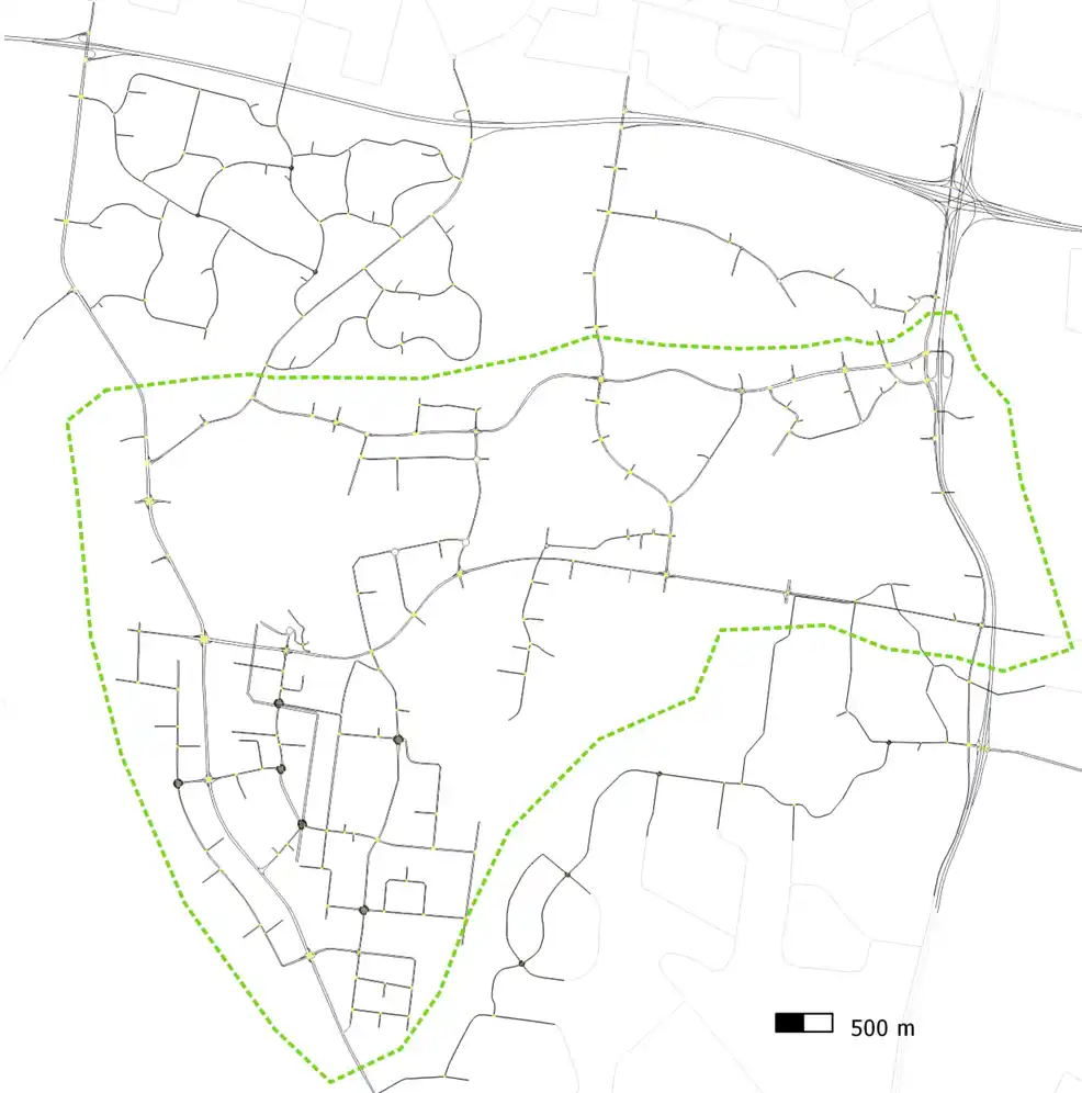
Ason Group was engaged by TfNSW to investigate the Southern Link Road (SLR) design and upgrade options to carry out the concept design, environmental assessment, detailed design and staging for SLR. The concept design has been divided into three stages. 

Stage 1 connects Mamre Road to Compass Drive
Stage 2 connects Compass Drive to Old Wallgrove Road
Stage 3 connects Old Wallgrove Road to Wallgrove

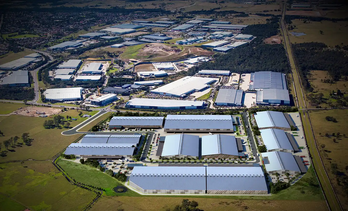
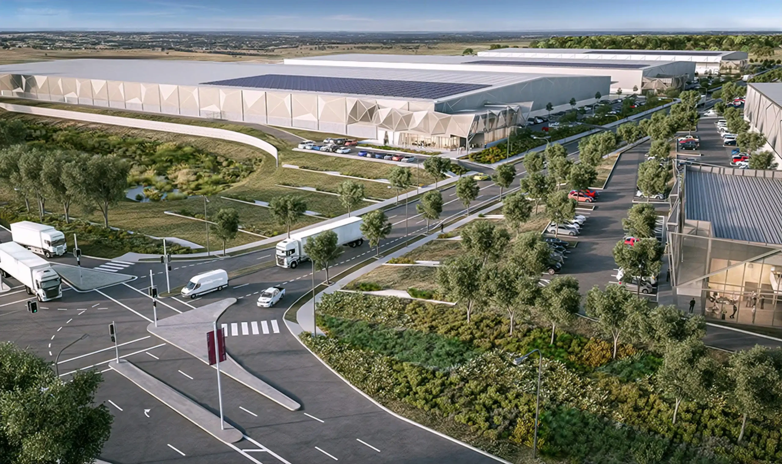
Southern Link Road is a proposed new east-west corridor that would provide an additional link between Mamre Road, Kemps Creek and Wallgrove Road, Horsley Park. 

Southern Link Road is expected to be around 7.5 kilometres long and provides access to the future industrial development that would create employment and economic growth in the surrounding Western Sydney area. 

Our work included

  • A review of historical traffic survey data is used to develop base model and validate with the latest SCATS data.  
  • Develop, calibrate and validate the mesoscopic- microscopic Hybrid’ model in Aimsun of the SLR and surrounding WSEA.
  • Develop a base model to assess existing traffic patterns within the study area and identify congestion locations in the study precinct.  
  • Conduct multi-criteria assessment for the options and construction staging analysis.
  • Develop future year scenarios 2031 and 2036 to access SLR options against the ‘do nothing’ road network configuration.  
  • Develop travel demand management (TDM) strategy to reduce travel demand and redistribute the traffic in horizon years.
  • The model provide the inputs and measures required for the Business cases economics, pavement design and environmental assessments.  
  • The model output informs the SLR development staging and defines road infrastructure upgrades required to mitigate traffic growth.  

Similar Projects

Ason Group was originally commissioned in 2017 to undertake the development assessment of the Master Plan for 45-61 Waterloo Road Macquarie Park, providing for some 117,000m2 of commercial GFA.Subsequently we have also been commissioned to provide Transport Assessments for the first 3 buildings, including Building C (now known as “The

View Details

Waterloo Road

The Oakdale Estate owned by Goodman is strategically located across both Kemps Creek and Eastern Creek and forms part of the Western Sydney Employment Area (WSEA) lands. The Amazon Australia site provides for: ~200,000m2 of gross floor area warehouse and office development. 1,127 on-sire car parking spaces. 128 bicycle spaces

View Details

Amazon Industrial Facility

Ason Group was commissioned to prepare a Transport Management & Accessibility Plan (TMAP) in support of a Planning Proposal at 26 Kissing Point Road and 266 Victoria Road, Parramatta. The Planning Proposal provides for: 2,700 new dwellings. 5,000m2 of retail and commercial floor space. Community facilities, including open space, accessible

View Details

FACS