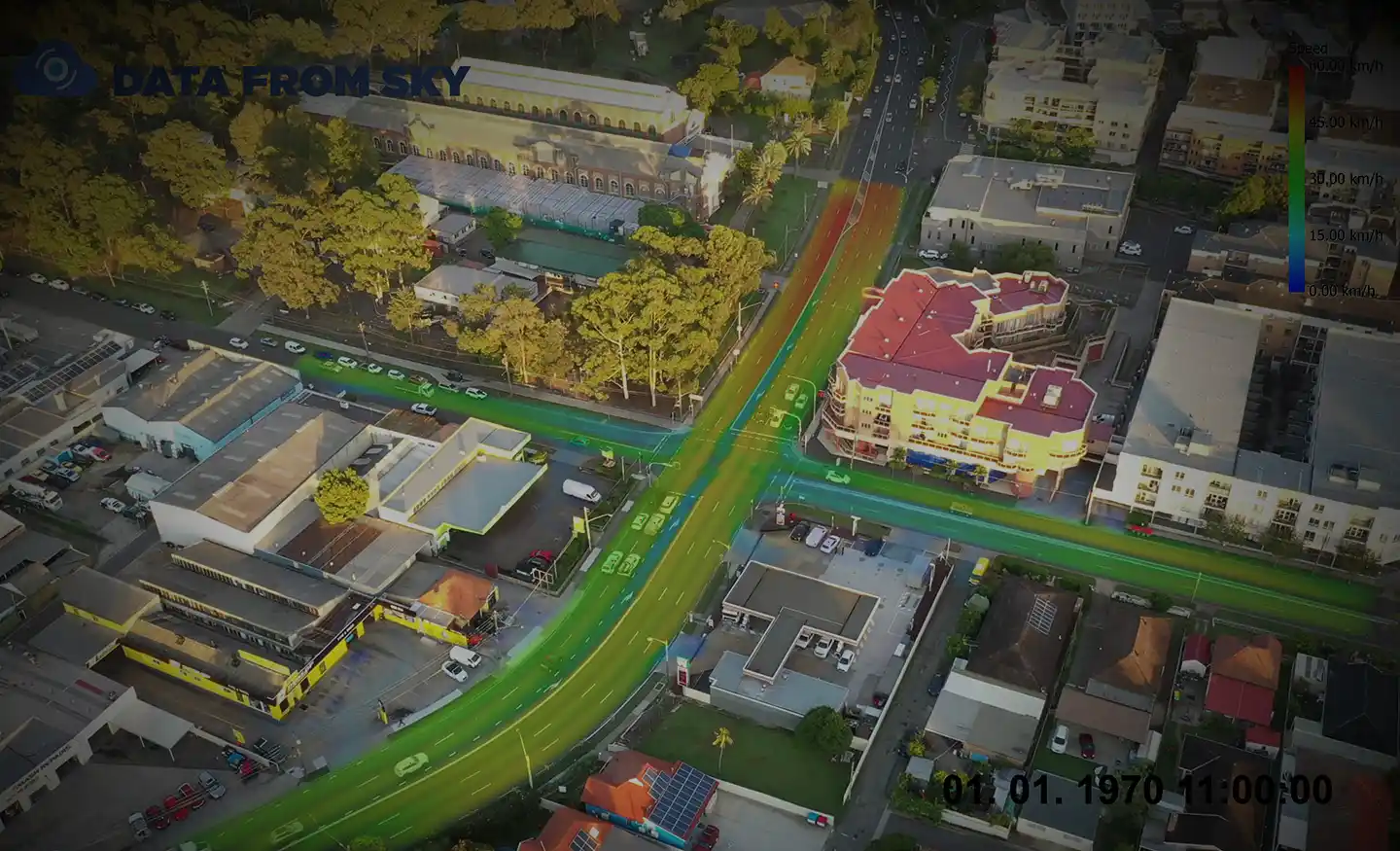
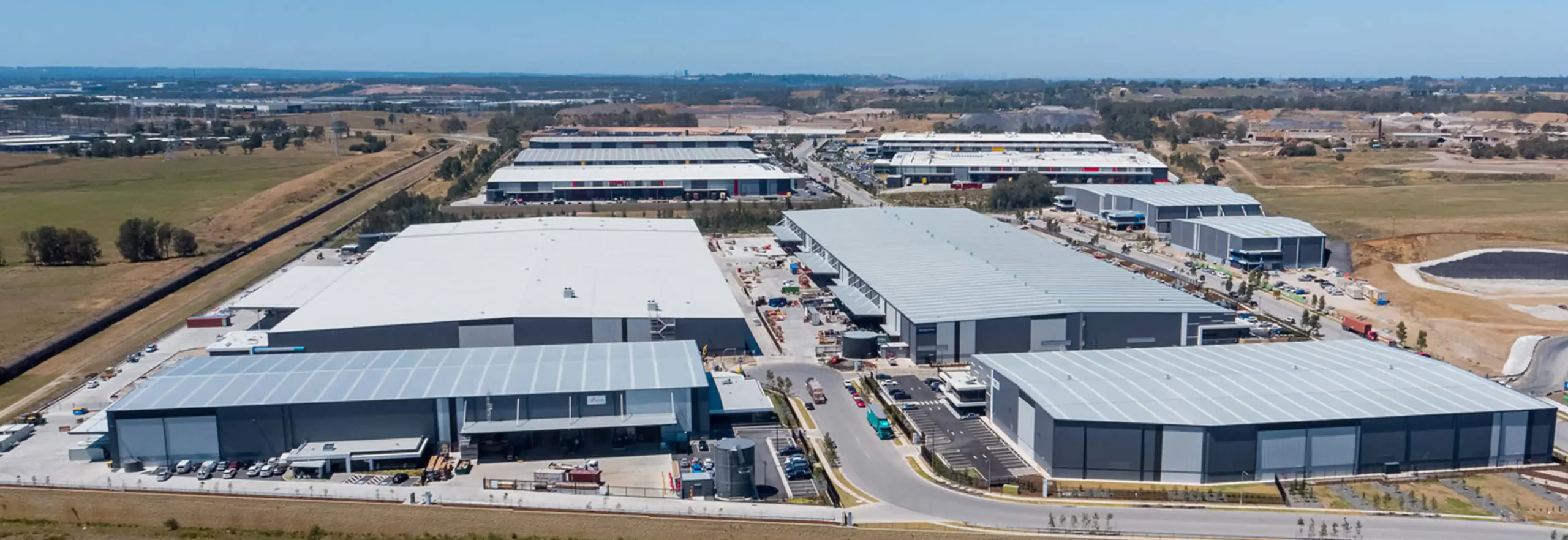
Survey using Unmanned Aerial Vehicles (Drone) and TomTom GPS.
Real-time traffic data and impact forecasts.
Survey using Unmanned Aerial Vehicles (Drone) and TomTom GPS.
Real-time traffic data and impact forecasts.
Ason Group was engaged to undertake the capacity analysis and assess the operational performance of the current and proposed design in terms of Level of Service provided to pedestrian circulation on the block and adjacent streets in Sydney CBD. The Legion pedestrian model was developed to perform virtual experiments on
The Mamre Road Precinct (MRP) forms part of the Western Sydney Employment Area (WSEA) and Aerotropolis was rezoned in June 2020 to permit industrial land uses across approximately 850 hectares of land and over 3.5 million square metres. Ason Group was engaged to work with key stakeholders including Transport for
Ason Group has been engaged to undertake traffic modelling works to support the proposed upgrade of the Swan Hill/ Murray River Road bridge. The bridge provides a key crossing opportunity across the Murray River and services agricultural freight routes between NSW and Victoria. It also operates as a lift span